Quantifying Place: Analyzing the drivers of pedestrian activity in dense urban environment
A preliminary study was presented at 2017 International Conference on Sustainable Infrastructure hosted by American Society of Civil Engineers (ASCE). The full research paper is published in Landscape and Urban Planning vol. 180 (2018). For citation: Lai, Y., & Kontokosta, C. E. (2018). Quantifying place: Analyzing the drivers of pedestrian activity in dense urban environments. Landscape and Urban Planning, 180, 166-178.

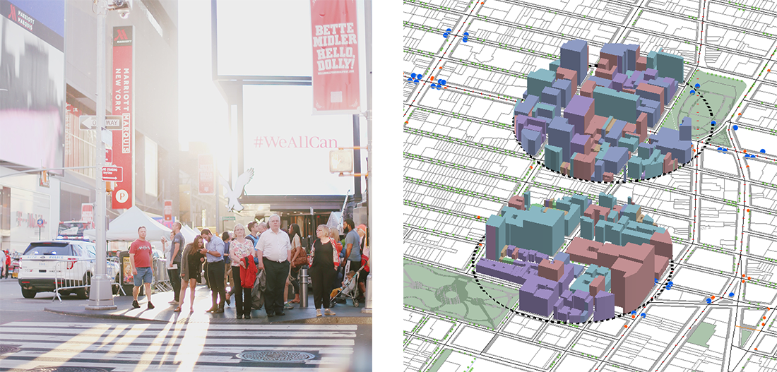
Understanding pedestrian behavior is critical for many aspects of city planning, design, and management, including transportation, public health, emergency response, and economic development. This study bridges in-situ observations of pedestrian activity and urban computing by integrating high-resolution, large-scale, and heterogeneous urban datasets and analyzing both fixed attributes of the urban landscape (e.g. physical and transit infrastructure) with dynamic environmental and socio-psychological factors, such as weather, air quality, and perceived crime risk. We use local pedestrian count data collected by the New York City (NYC) Department of Transportation (DOT) and an extensive array of open datasets from NYC to test how pedestrian volumes relate to land use, building density, streetscape quality, transportation infrastructure, and other factors typically associated with urban walkability.